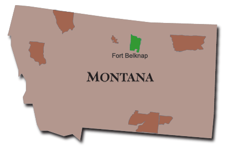
This map highlights the location of Ft. Belknap and the surrounding region in Montana. More information about this map can be found on American Indian Relief Council (AIRC) website.
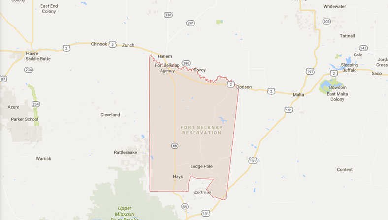
This map shows the location of the Ft. Belknap Reservation and its surrounding region and where it's situated in Montana.
This 1936 map is from the Office of Indian Affairs at the Montana Memory Project. Visit the Montana Memory Project to view an interative version of this map.

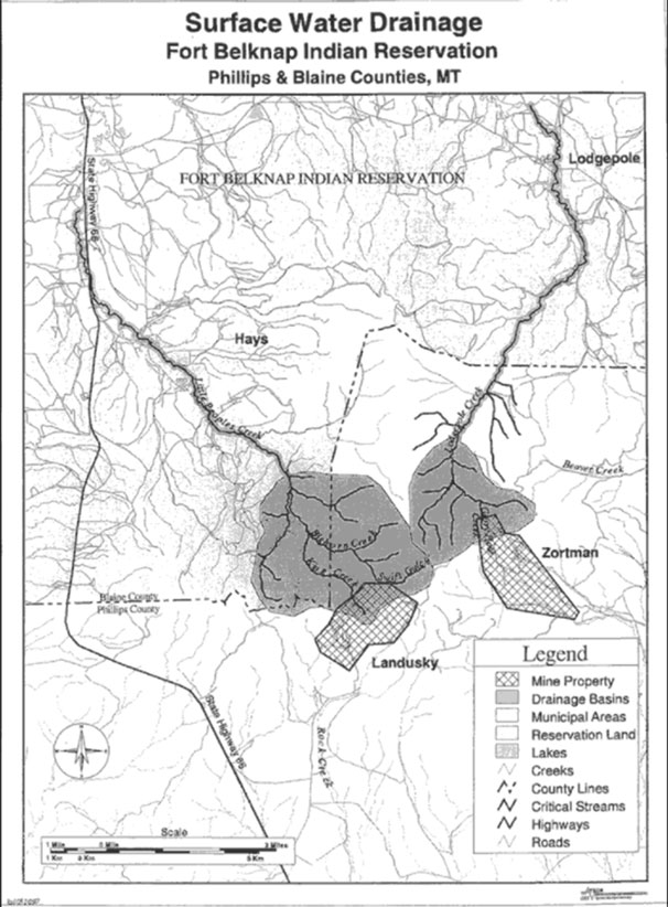
This government map can be found at the Office of Indian Affairs. The map highlights surface water drainage in relation to the mines.
![]()
The Red Thunder Oral History Project requests that you acknowledge and cite our website when drawing from, quoting from, or reproducing materials made available on this site.
Have a question or suggestion? Send us an email.
© 2023 The Red Thunder Oral History Project. All rights reserved. | Site by Tresa Horney.